Cartographers in Focus
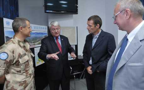
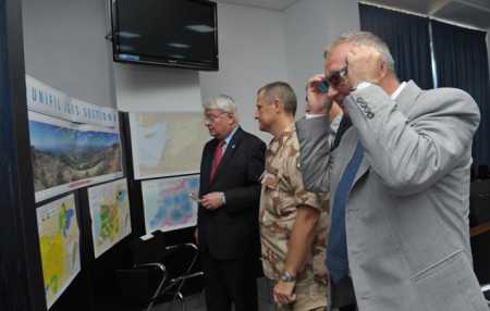
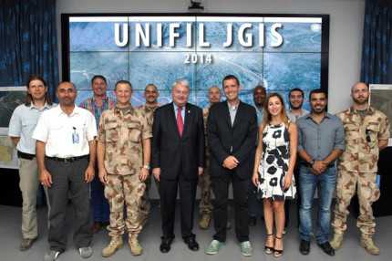
Szöveg: P.L. | 2014. július 9. 10:24On his official tour of the Middle East, Hervé Ladsous, UN Under-Secretary General paid a visit to the Headquarters of the United Nations Interim Force in Lebanon (UNIFIL) mission in Naqoura.

Today, the UNIFIL JGIS section provides geoinformation support not only to the Lebanon-based UNIFIL but also to other UN-led missions deployed in the region. These include the United Nations Peacekeeping Force in Cyprus (UNFICYP), the United Nations Special Coordinator for Lebanon (UNSCOL), the United Nations Disengagement Observer Force (UNDOF), the United Nations Truce Supervision Organization (UNTSO), the Organization for the Prohibition of Chemical Weapons (OPCW) and the United Nations Staff Mutual Insurance Society (UNSMIS).
The services of the JGIS section include conventional paper-based and digital mapping, high-precision real-time terrain analysis, web-based mapping applications, geoinformation applications installed on mobile devices, Google Earth-based services and hands-on training as well.

Since November 2006, Hungary has been contributing four military cartographers to the UN mission in Lebanon in yearly rotations. The members of the current eighth rotation (from the staff of the HDF GEOS) are Lt.-Col. Péter Lusták, Lt. Kornél Varga, Lt. Mihály Sándor, and (from the HDF 12th Arrabona SAM Regiment) WO Szabolcs Benkő.
After the demonstration, the UN Under-Secretary General expressed appreciation to the whole staff of the JGIS section for their outstanding professional performance and dedicated work. He said that he would advise the UN Security Council of the positive results achieved and the opportunity of introducing innovative developments on a large scale.

Photos: UNIFIL